Khuyến mãi và Cách thức mua hàng
Giao hàng miễn phí
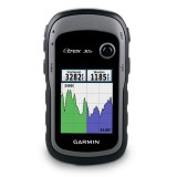
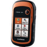
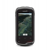
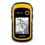
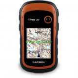
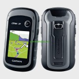
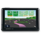
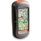
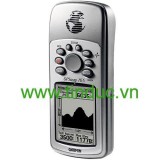
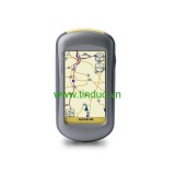
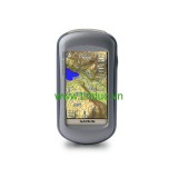
 Máy định vị vệ tinh GPS
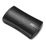
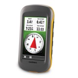
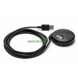
 Phụ kiện máy định vị
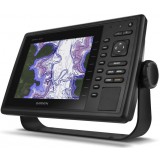
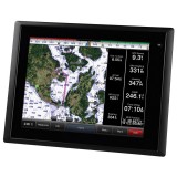
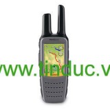
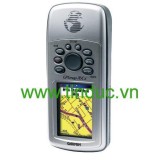
 Thiết bị hàng hải
 Thiết bị đo

Giao hàng miễn phí
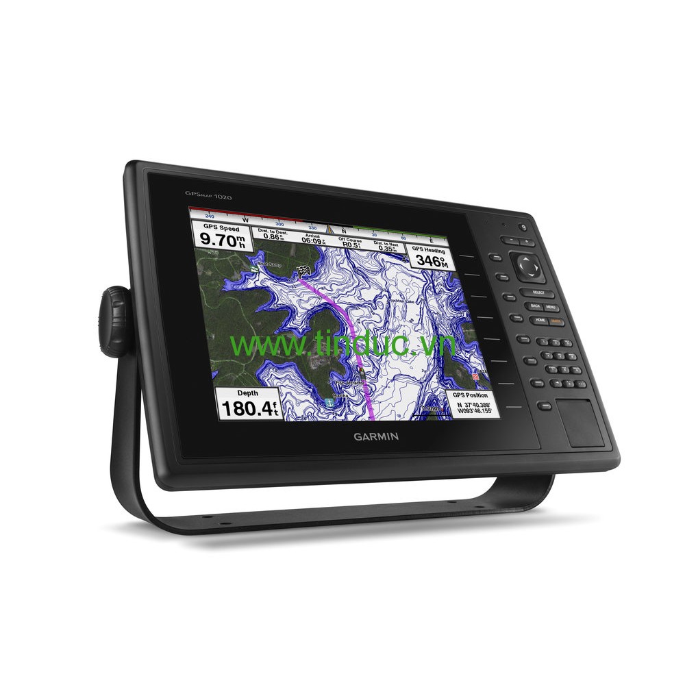
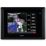
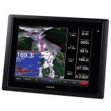
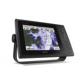
The 10” color GPSMAP 1020 keyed chartplotter has a preloaded worldwide basemap. The built-in 10 Hz GPS/GLONASS receiver updates your position and heading 10 times per second.
This combo allows you to add more capabilities to your boat. It provides NMEA 2000 support so you can see valuable information on your screen for Garmin autopilot, engine data, SiriusXM Weather radar and more.
Add your choice of marine radar, either open array or our new xHD dome radar that pair ease of use with advanced open array features.
The GPSMAP 1020 offers select networking capabilities that allow you to share features with other compatible GPSMAP units, such as radar, GCV 10 DownVü and SideVü scanning sonar, supplemental maps, and user data, including waypoints, routes and tracks. User data entered into one chartplotter can be automatically synced with other chartplotters in a network.
Supported sailing features include laylines, enhanced wind rose, heading and course-over-ground lines, true wind data fields and tide/current/time slider.
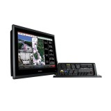
The GND 10 black box interface seamlessly integrates Nexus instruments and sensors with the Garmin family. It converts data between the Nexus network and NMEA 2000 to provide trouble-free compatibility between Nexus and Garmin products, including gWind™ and gWind Race wind transducers.
Garmin gWind, gWind Wireless and gWind Race transducers feature twin-fin technology with 3-bladed propeller. Connect to the NMEA 2000 and compatible Garmin chartplotters via the GND 10 black box bridge.
With BlueChart Mobile, a free app downloaded from the App Store™, you can plan marine routes on your iPad® or iPhone® then wirelessly transfer them to your boat’s compatible networked Garmin chartplotter. Even if you don’t have a Garmin chartplotter, you can still take advantage of the tremendous features of BlueChart on your Apple device.
Garmin Helm™ allows you to view and control your compatible Garmin chartplotter from an iPhone or iPad — while providing enhanced situational awareness for the mariner. Easily switch between portrait and landscape mode to accommodate mounting preferences. Using your Apple digital mobile device, you can even record a movie of your chartplotter screen to share with friends and family. Download from the App Store today.
Physical & Performance |
|
| Unit dimensions, WxHxD | 14.1" x 9.3" x 2.9 " (35.9 x 23.6 x 7.5 cm) |
| Display size, WxH |
8.3" x 6.2"; 10.4" diagonal (21.1 x 15.8 cm; 26.4 cm diagonal) |
| Display resolution, WxH | 800 x 600 pixels |
| Display type | SVGA display |
| Weight | 4.7 lbs (2.1 kg) |
| Water rating | IPX7 |
| Receiver | 10 Hz high-sensitivity |
| Antenna | Internal with external connection |
| Mounting options | Bail, flat or flush |
| Power consumption |
Max power usage at 10 Vdc: 20 W Typical current draw at 12 Vdc: 1.7 A Max current draw at 12 Vdc: 3.8 A |
Maps & Memory |
|
| Preloaded maps | None |
| Accepts data cards | 2 SD™ cards |
| Waypoints | 5,000 |
| Routes | 100 |
| Track log | 50,000 points; 50 saved tracks |
Features & Benefits |
|
| Garmin Radar compatible | Yes |
| Garmin Sonar compatible | Yes (with GCV™ black box, sold separately) |
| NMEA 2000® compatible | Yes |
| NMEA 0183 compatible | Yes |
| Garmin Marine Network™ compatible | Yes (limited capabilities) |
| Garmin SmartMode compatible (customizable monitor presets) | No |
| Supports AIS (tracks target ships position) | Yes |
| Supports DSC (displays position data from DSC-capable VHF radio) | Yes |
| Tide tables | Yes |
| Garmin Meteor Audio System compatible | No |
| Supports Fusion Lync compatible marine radios | No |
| GSD™ Black Box sonar support | No |
| GCV™ Black Box sonar support | Yes |
| SiriusXM™ Weather & Radio compatible | Yes |
| BlueChart® Mobile (planning) compatible | Yes |
| Garmin Helm compatible | Yes |
| GRID™ (Garmin Remote Input Device) compatible | No |
| Wireless remote compatible | No |
| Wireless mouse compatible | No |
Sonar Features & Specifications |
|
| Dual-frequency (50/200 kHz) sonar capable | No |
| Dual-beam (77/200 kHz) sonar capable | No |
| CHIRP sonar technology | No |
| DownVü™ | Yes (with GCV™ black box, sold separately) |
| SideVü™ | Yes (with GCV™ black box, sold separately) |
| Voltage range | 10-32 Vdc input |
Connections |
|
| NMEA 0183 input ports | 2 |
| NMEA 0183 output ports | 2 |
| Video input ports | None |
| Video output ports | None |
| Wireless connectivity | Yes |
| Garmin Marine Network™ ports | 1 |
Bạn chưa xem sản phẩm nào


Hiện tại chưa có ý kiến đánh giá nào về bài viết này. Hãy là người đầu tiên chia sẻ cảm nhận của bạn.
 Ảnh 1/1
| Thông tin công ty | Hướng dẫn mua hàng | Chính sách công ty |